
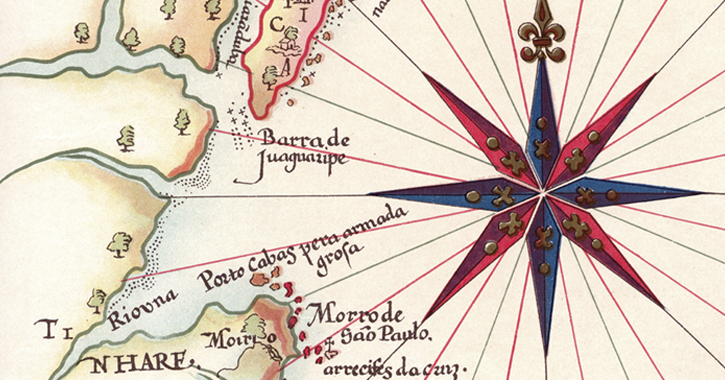
When a tourist is watching the silhouette from Itaparica Island from the balustrade in Porto da Barra, he may have the impression that he has viewed all the extension of All Saints Bay. He would not have been mistaken if he had an only and very expressive information: with a length of 1.052 square kilometers, 60 km inside the continent, the bay has a coastal outline of approximately 500 km that is cut off by creeks, coves, gulfs and two small bays – Aratu and Iguape. Because of its greatness, it is recognized as the biggest existing bay in our country.
All Saints Bay has two openings that face the Atlantic Ocean, between Barra Lighthouse and Itaparica Island (6 km) and from Itaparica Island (Cacha Prego) to Ponta do Garcez (1km). It has depth that reaches 70 meters and having an archipelago with 56 islands of the most varied sizes, and Itaparica Island is the most famous one – the biggest maritime island. In Brazil and one of the most important geographical features in the coast of Brazil.
The rich fauna and flora of the bay is settled in a rich ecosystem that is formed by the surprising and beautiful views that are part of the scenery of its biodiversity and that calls attention because of palm trees, mango and banana trees, remaining Atlantic forest, mangroves, apicuns and coral reefs that contrast with rocky shores and beaches of thin sand. On its east the steep cliff is highlighted that is considered an example of the old crystalline edge of coastal tectonic trench. Of rectilinear form, the top of the cliff offers excellent panoramic view that makes the city of Salvador look like a big belvedere.
Also rich on hydric sources, the bay hosts the mouths of the rivers Jaguaripe, Subaé and Paraguaçu, beyond innumerable streams that flow into its beaches. Its clear and crystalline waters are fantastic for the practice of nautical sports and diving.
